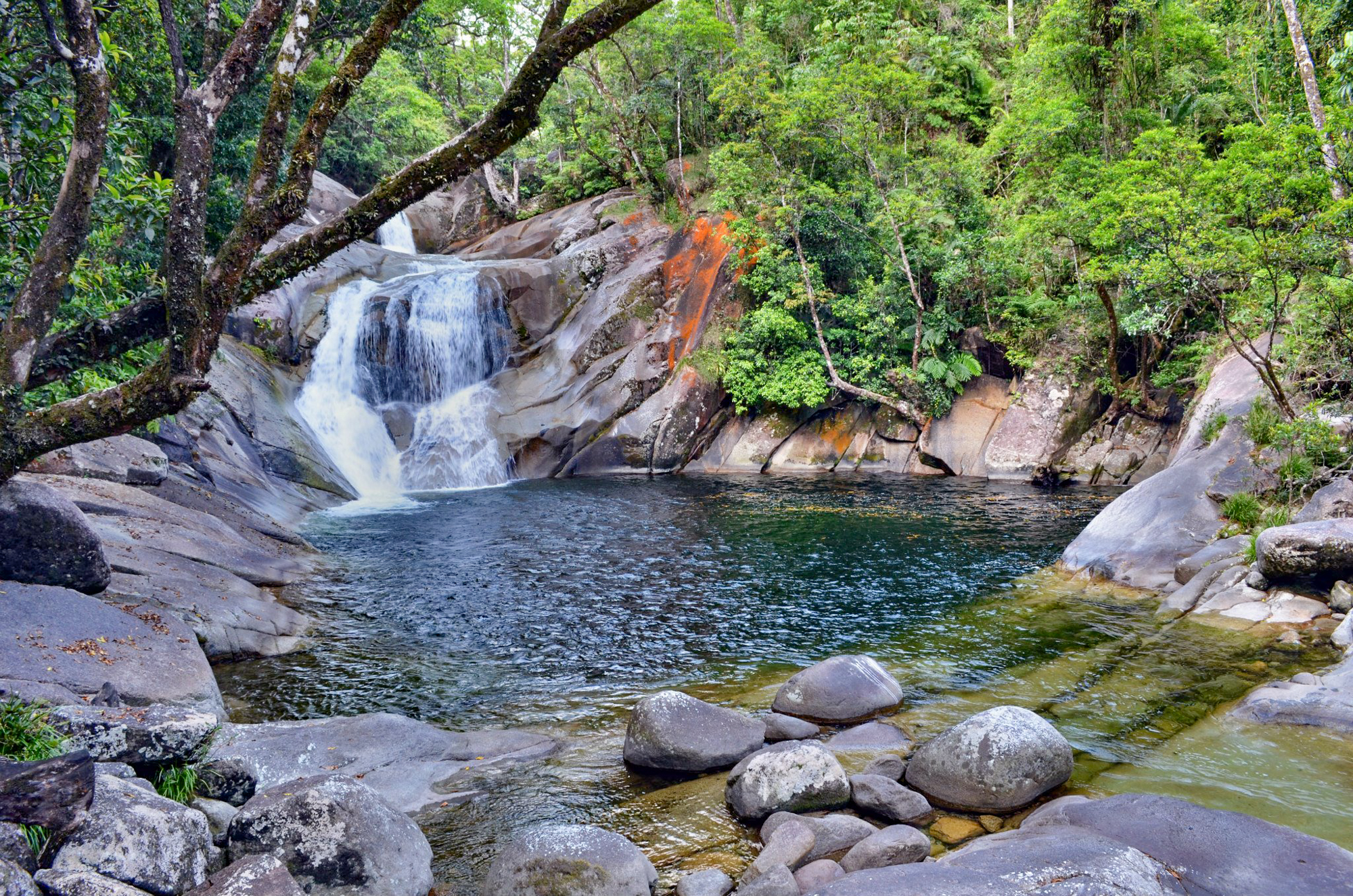
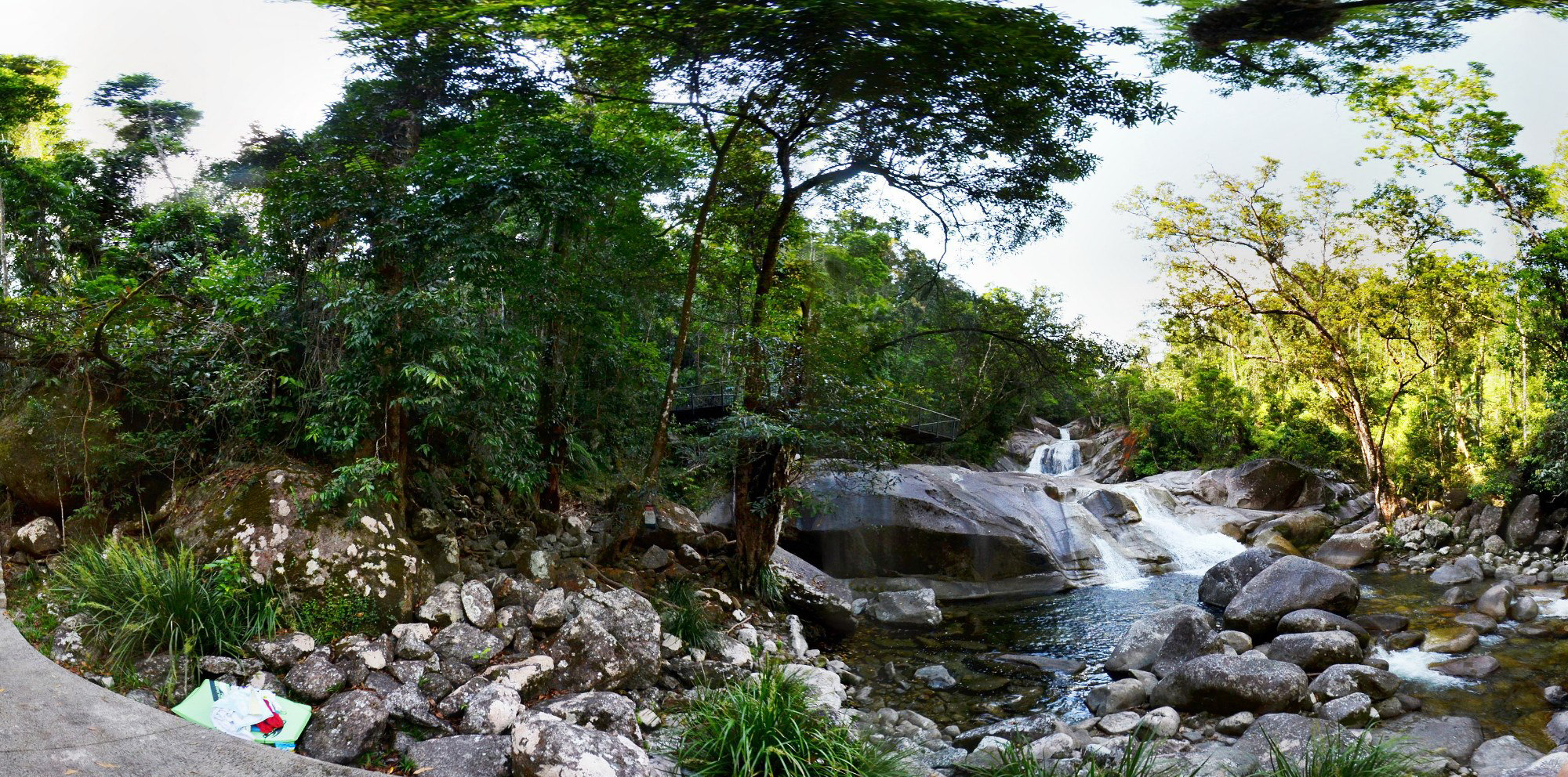
Josephine Falls is a scenic waterfall fed by rains falling on Queensland’s highest peak, Bartle Frere, which looms above this popular picnic area.
The Noongyanbudda Ngadjon (noong-yan-budda-nud-jun) local Aboriginal people maintain a close spiritual connection with the Bartle Frere area and Josephine Falls, and they welcome you to their country.
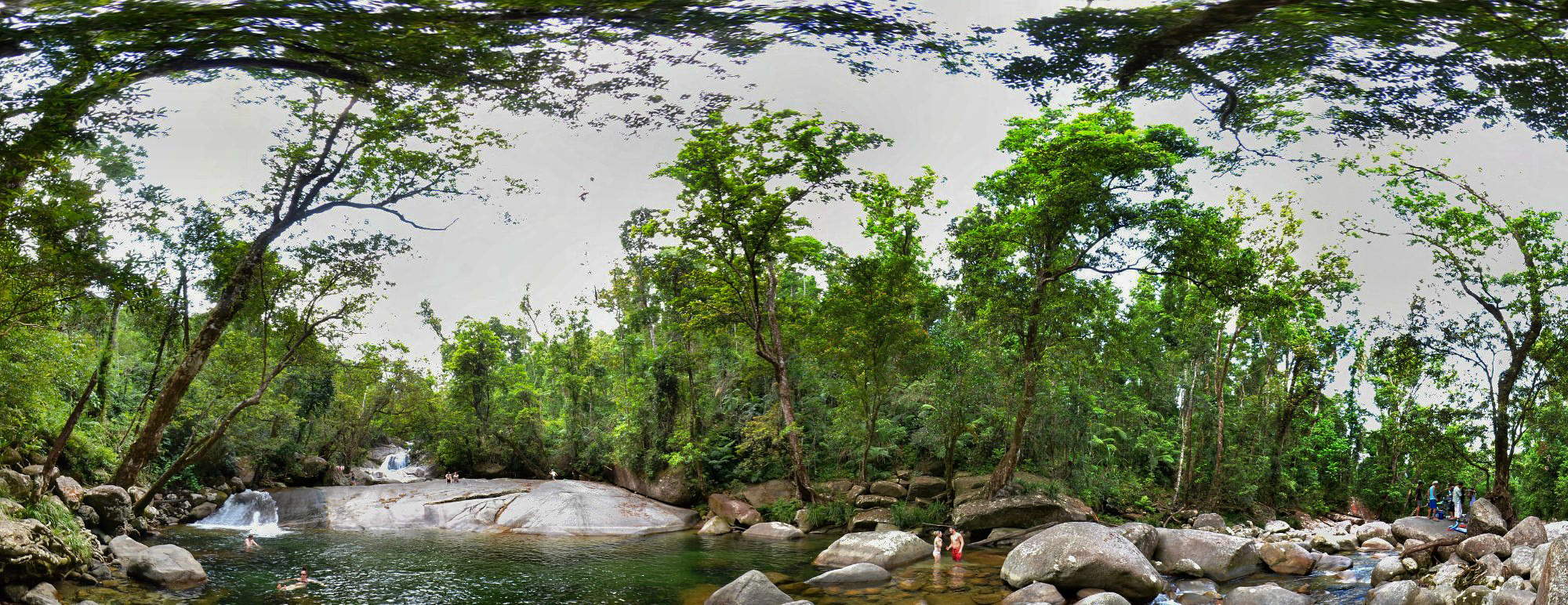
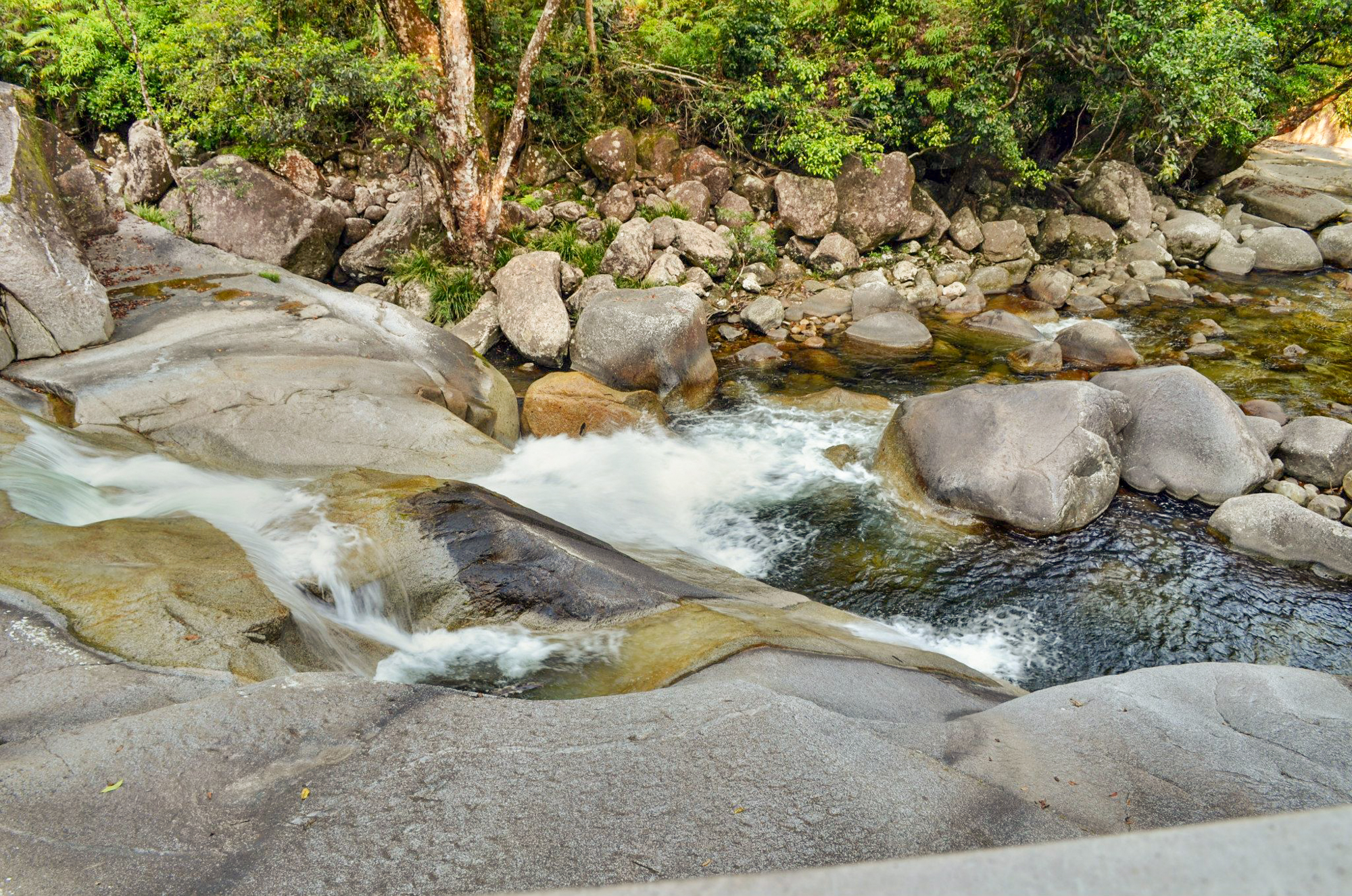
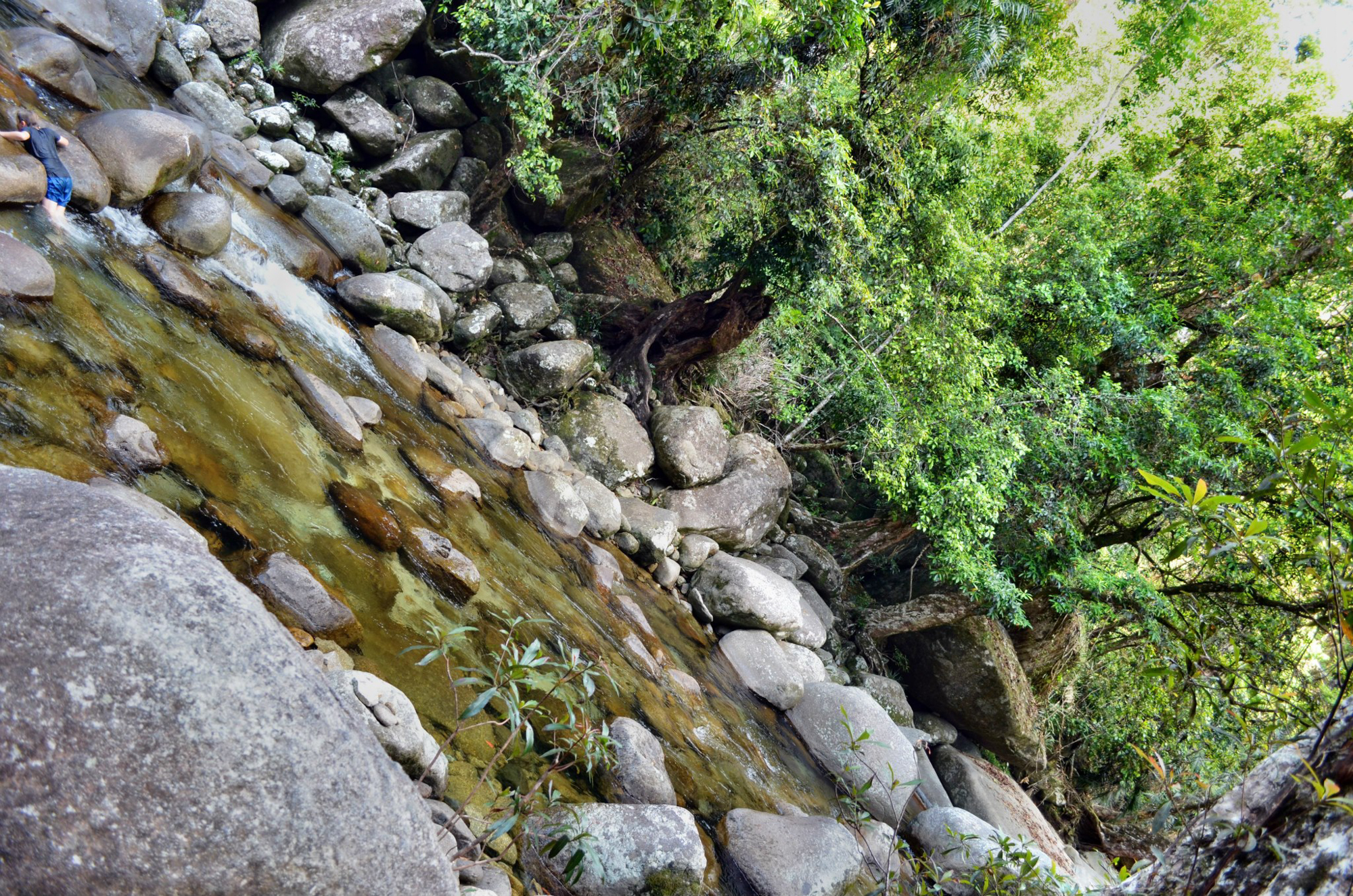
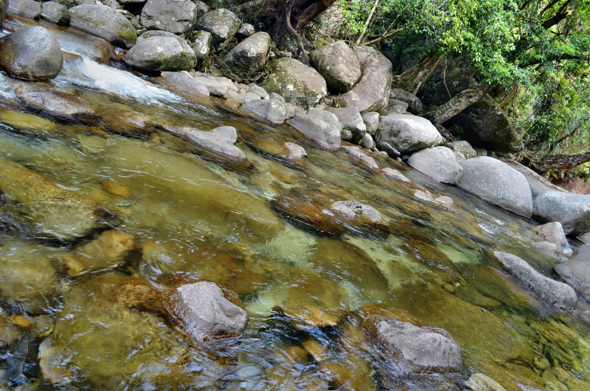
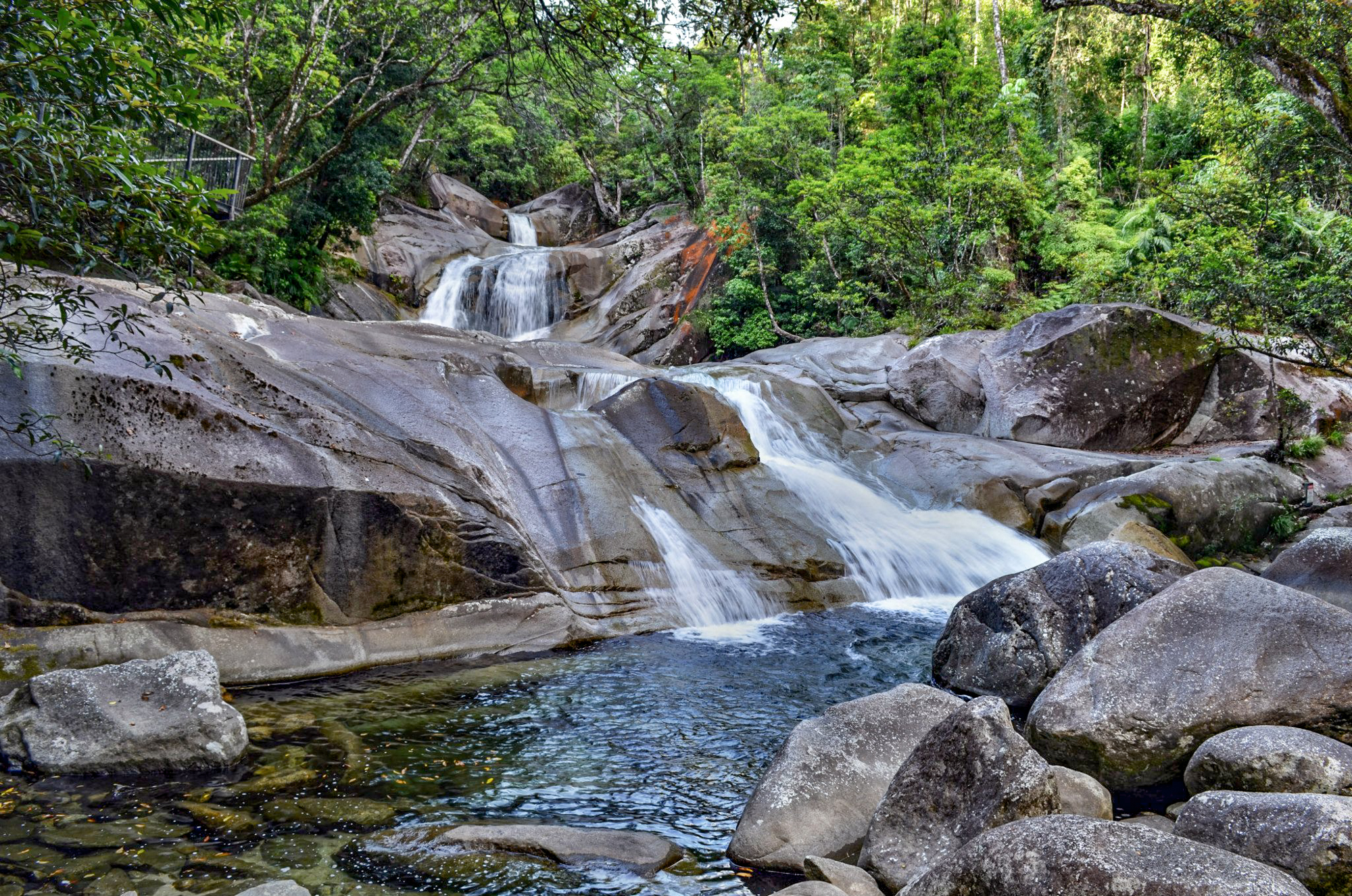
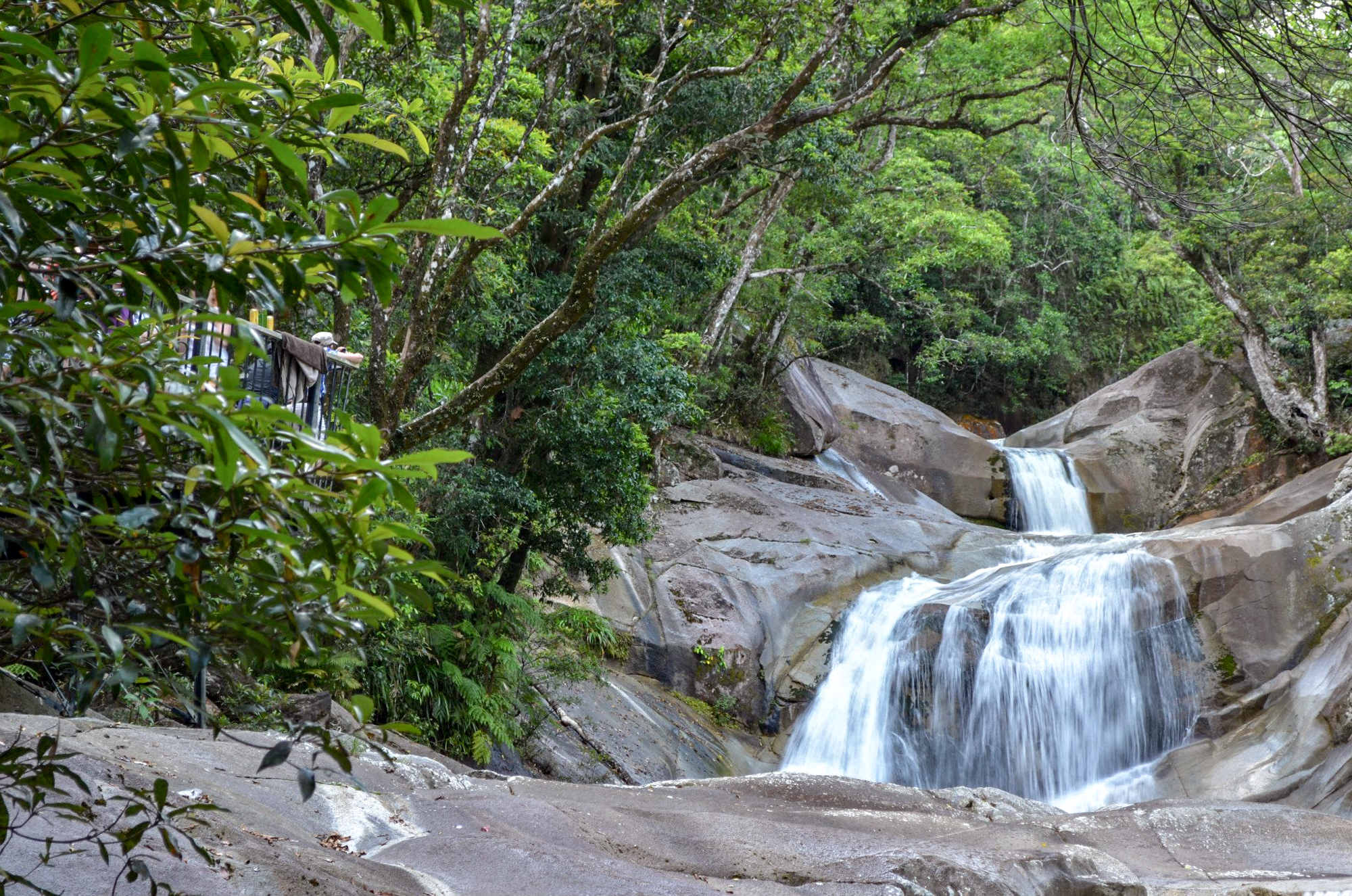
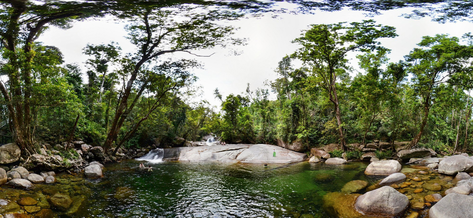
The falls are situated at the foot of the southern face of Mount Bartle Frere in the Wooroonooran National Park. They descend from the Atherton Tableland at an elevation of 192 metres (630 ft) above sea level in the range of 150–300 metres (490–980 ft) near a popular recreation site as the water flows over a large rock to form a natural waterslide on Josephine Creek, a tributary of the Russell River.
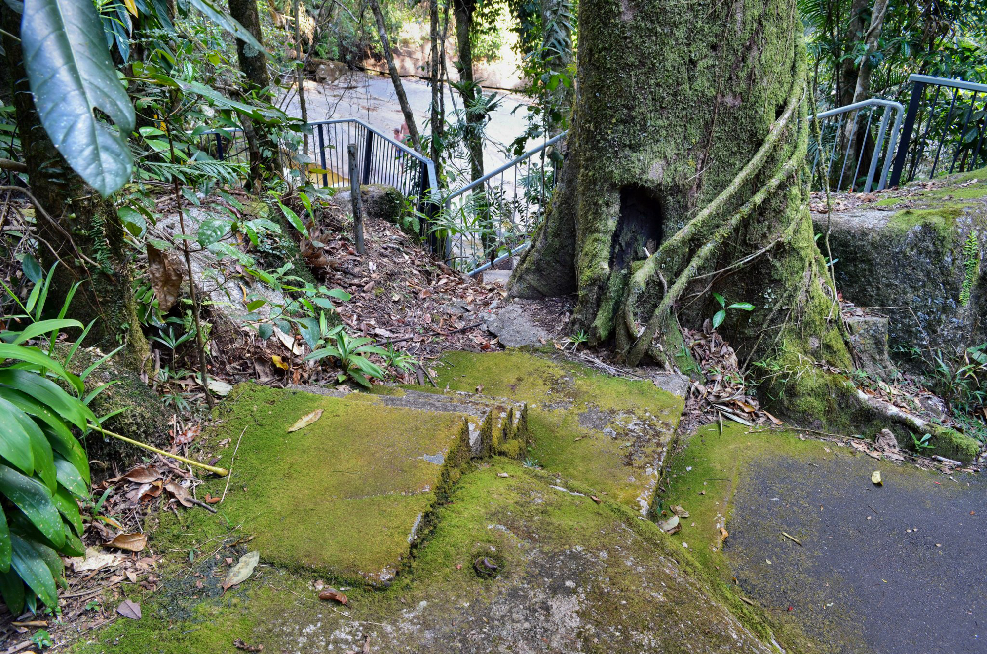
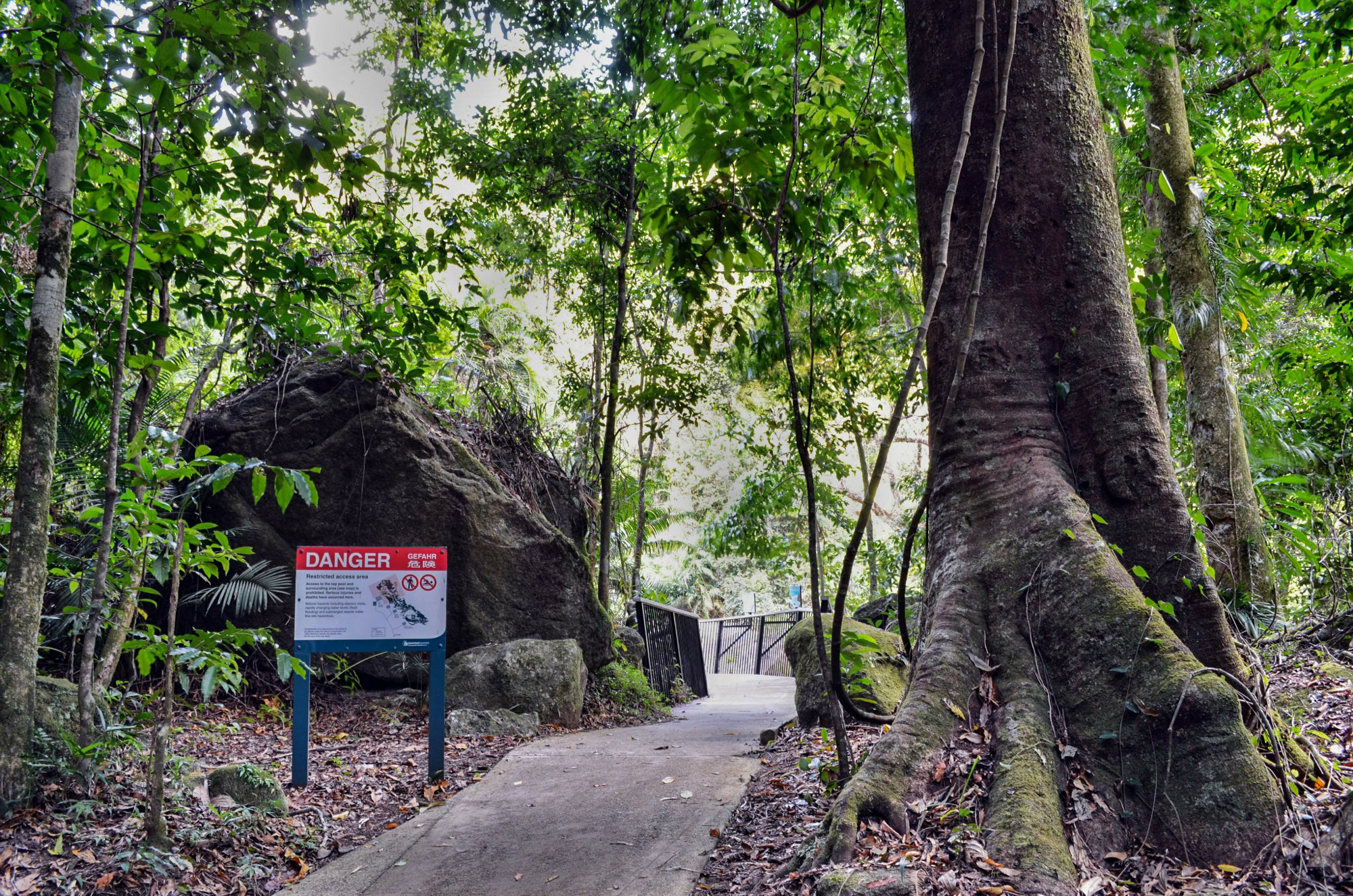
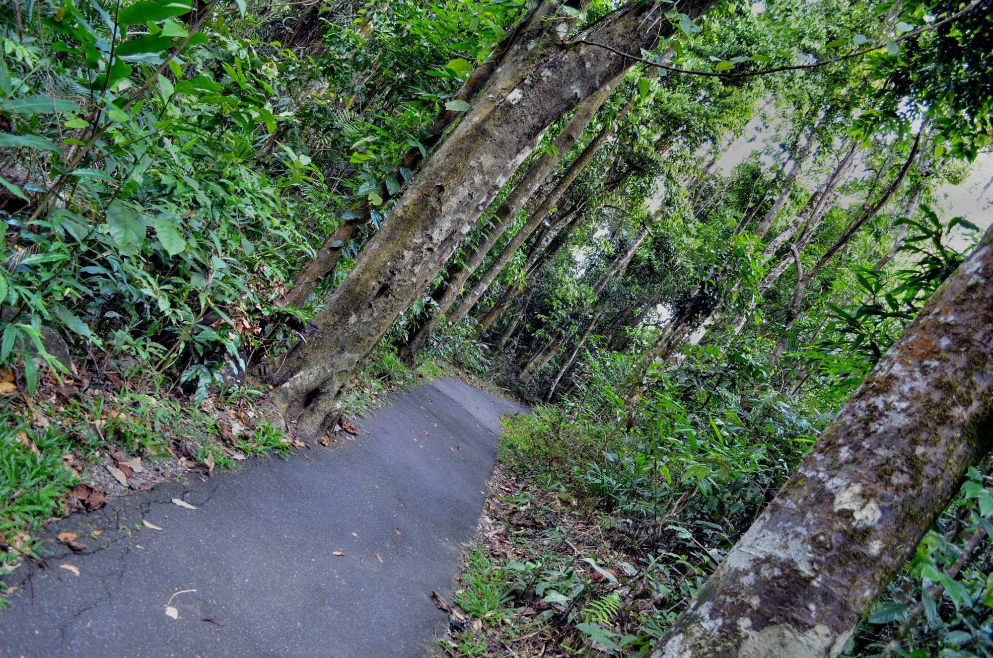
The falls are accessed by a paved walking trail which is accessible by wheelchair.
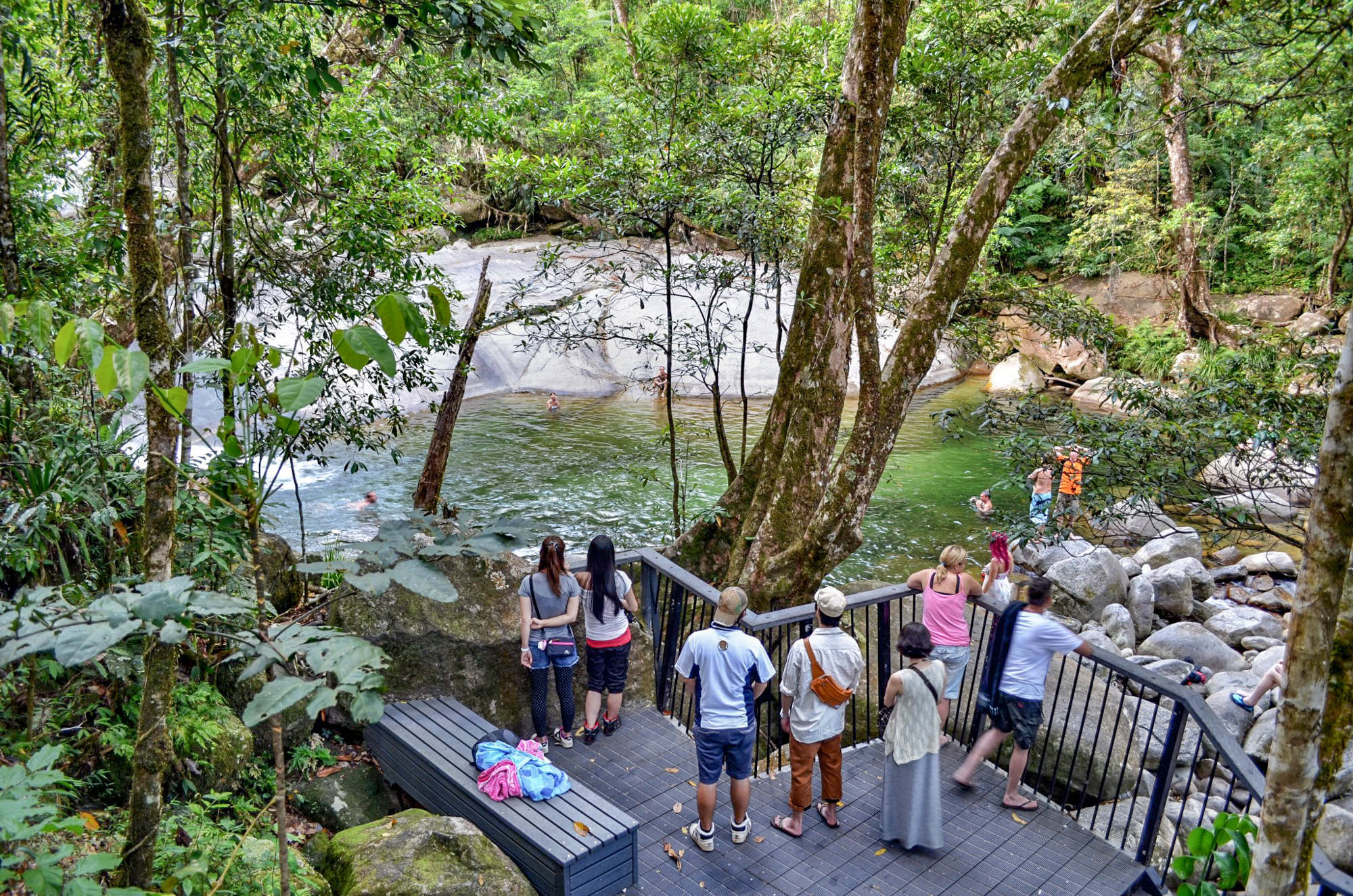
Picnic grounds and toilets are located at the entrance to the walking trails and the falls are a very popular swimming spot although care must be taken during wet season and sudden river rises.
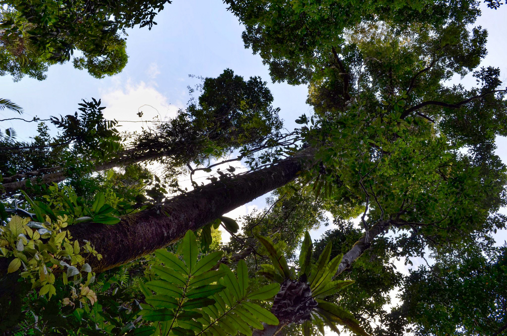
- World Heritage listed rainforest
- Toilets
- Picnic areas, some sheltered
- Wheelchair access
- Short and easy walks
- Longer hiking trails
- Lookout platforms over the waterfalls
- Open fireplaces
- No camping
Access to falls is via a sealed road off the Bruce Highway between Babinda and Innisfail – see map below. The natural rock slide can be dangerous and the occasional flash flooding occurs without warning, with a sudden increase in the water volume.